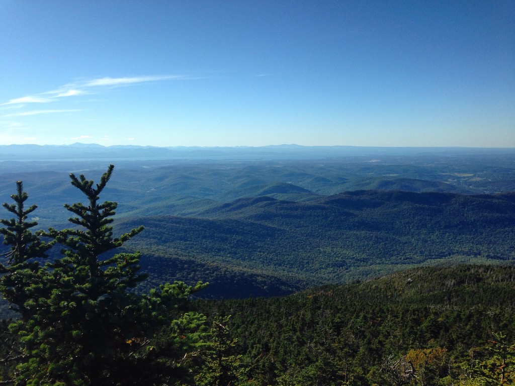
This past weekend, I went up to Vermont for a few days to visit my sister who goes to Saint Michael’s College. After a couple days of exploring the awesome city of Burlington, we decided to try something new to both of us—to go for a hike on Camel’s Hump, the mountain that is visible from many different spots in Vermont. While we ended up feeling completely sore afterwards, it was a really fun experience and the view from the top was worth all the exhaustion and pain!
First off, a little background information on Camel’s Hump. It’s located between Montpelier and Burlington in northern Vermont, about an hour’s drive from each city. It’s part of the Green Mountain range and the third highest peak in the state. A lot of people consider Camel’s Hump to be the most popular and recognisable mountain in Vermont, and it’s the mountain featured on the Vermont state quarter. The mountain has been under state protection for over a hundred years, but unlike a lot of other state parks, it’s pretty undeveloped to really retain its natural and rustic feel.
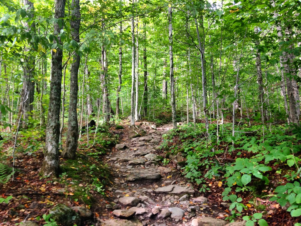
There are a bunch of different trails you can hike. The most popular are the Burrows and Monroe Trails, which are moderately difficult. The Forest Trail is a moderate level. The Camel’s Hump View Trail is the easiest and shortest trail, so ideal for anyone who has young kids or who has difficulty climbing up steep inclines. And for the expert hikers, there is the Long Trail which is almost 19 miles through Camel’s Hump National Park and 272 miles in total, going all the way across the state. Some parts of the Long Trail are even considered “alpine trails” where they are completely rustic and you basically need to scale the side of the mountain!
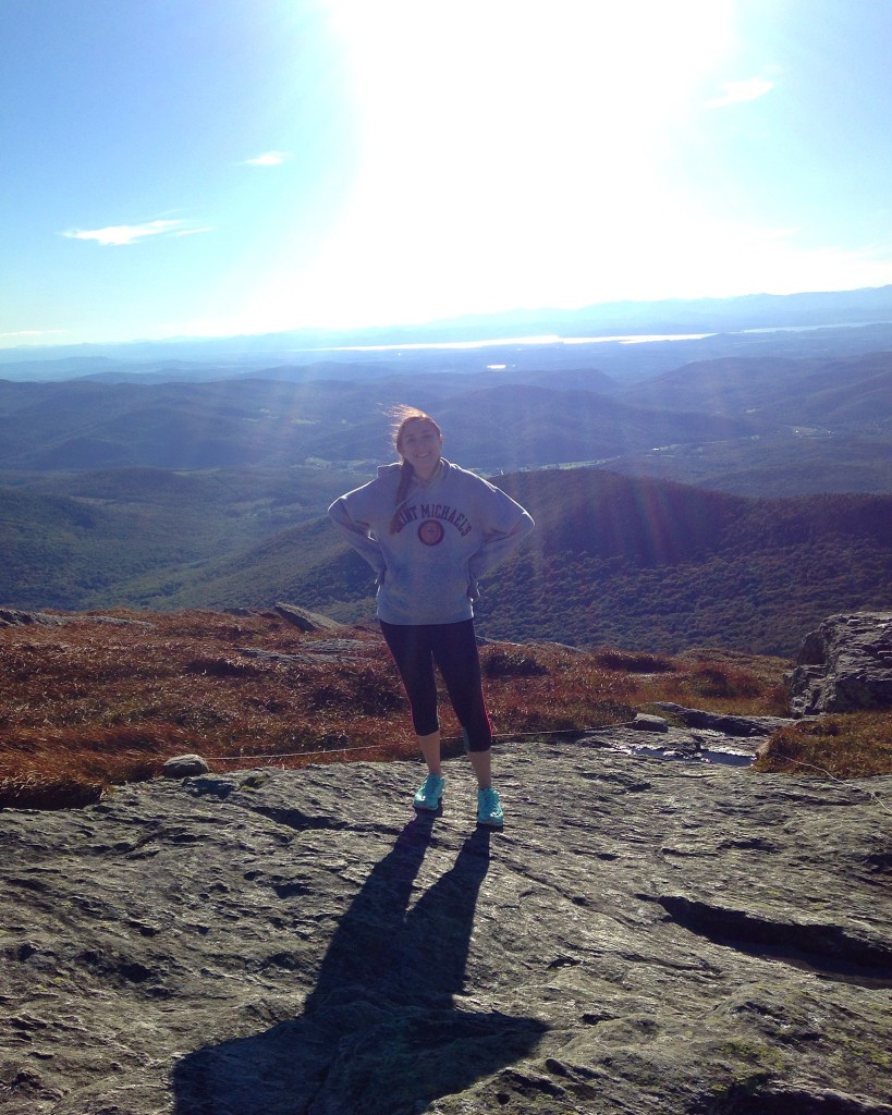
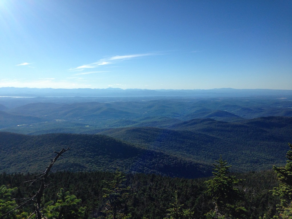
Since my sister and I rarely hike, we decided to go for one of the less extreme trails and hiked the Burrows Trail. Even though it’s technically considered to be moderately difficult, if you’re inexperienced like we are, you’ll find it pretty damn difficult! The trail is full of rocks that you hike over, and the further you get up the mountain, the harder it gets. After 2.1 miles of trail (about half of which is steep and pretty challenging), you reach a little clearing where you go onto the Long Trail for .3 miles up to the summit. This portion of the trail is really hard if you aren’t an experienced hiker, since it’s super steep and basically bare mountain face. But trust me, no matter how exhausted the trail makes you, once you reach the top the view is incredible! You can see so far, all the way into New York and New Hampshire, and on really clear days you can even see Canada! The summit is so peaceful and the perfect place to sit, have a snack, and relax before descending the mountain. In total, it took us about 2 hours to go up the mountain and 2 hours to get back down. But if you’re a more experienced hiker, it will definitely take you less time than that. And while it’s difficult by our standards, others might consider it moderate. There were some dogs on the trail who were hiking better than us, if that puts things into perspective!
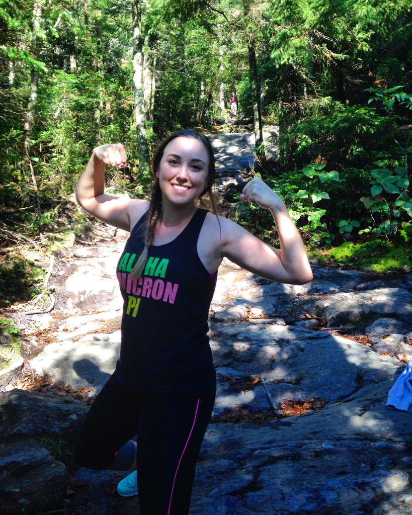
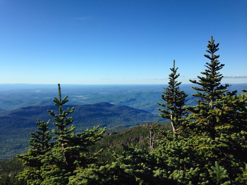
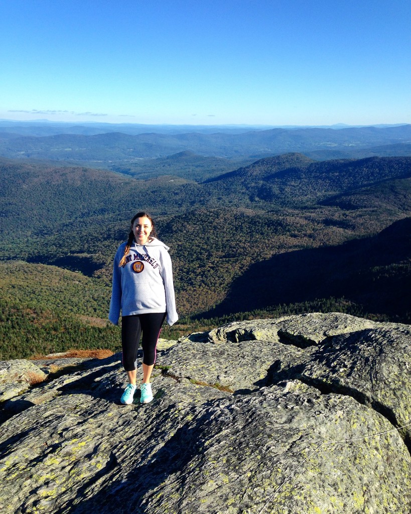
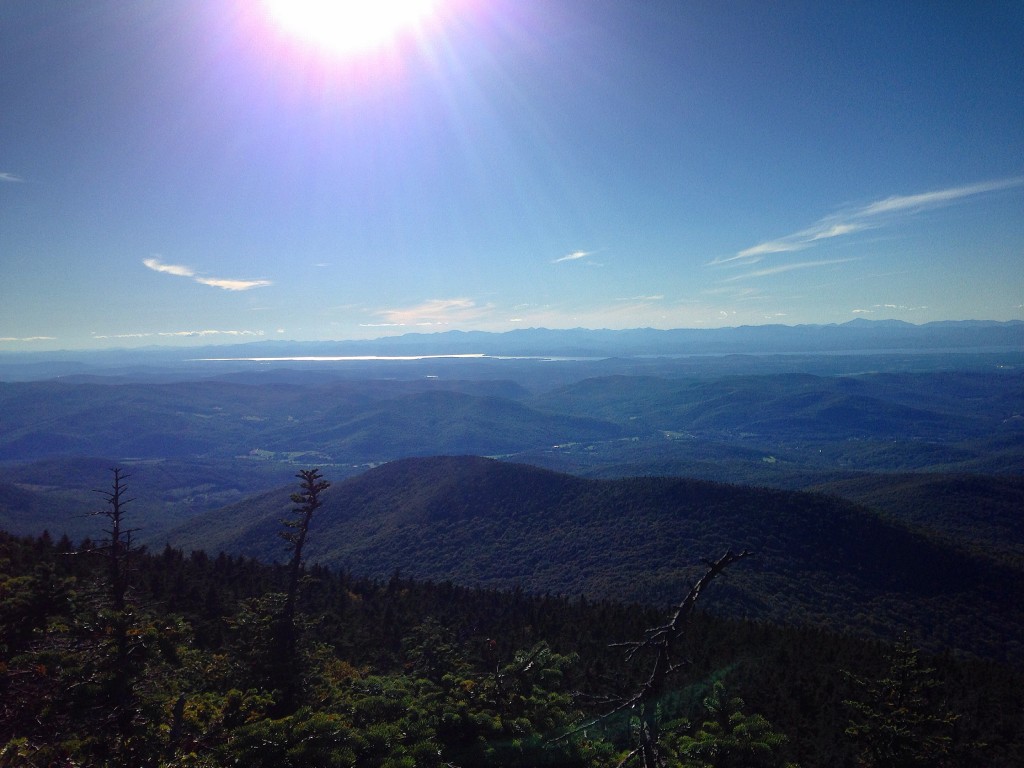
Hiking Camel’s Hump is a really great experience and something you need to do on a visit to Vermont. Even if you aren’t very athletic, the views are so worth the exhaustion. I doubt there’s anywhere in the state with views quite as pretty as the ones at the Camel’s Hump summit!
Have you hiked Camel’s Hump or any other mountains in the Northeast of the US? What are your favourite hiking spots? Let me know in a comment below!
Hi I’m Christie, a 28-year-old girl originally from Boston who has spent time living in New York City, North Carolina, France, Australia, New Zealand, and London. I love moving to new places and exploring them as a local, and I can’t see my nomadic expat life stopping any time soon! I have no greater passion than travel, and when I’m not exploring I spend my free time reminiscing on past trips and daydreaming about future travel.






Trackbacks/Pingbacks